View this complete project on my GitHub.
RIADA: Rapid Image Acquisition for Disaster Analysis
In the aftermath of natural disasters, displaced persons can be forced from their homes into makeshift shelters / tents. It is in the interests of FEMA and other disaster response agencies to locate these tents quickly, so that the displaced populations can be contacted, provided for, and possibly brought to organized camps.
In the aftermath of natural disasters, how can we identify key areas of need? Can aerial imagery be used to identify informal shelters?
It is important to note that based on the client’s needs, the scope of this project was changed. Rather than use satellite imagery, it was asked for us to focus on Civil Air Patrol (CAP) imagery as it is more readily available post-disaster. RIADA was created as a collection tool that could be run from the client's computer, access the CAP pictures, and download them locally. Unlike satellite imagery, CAP imagery is non-standard with images taken from different cameras, altitudes, and angles, presenting a large pre-processing challenge for neural network modeling.
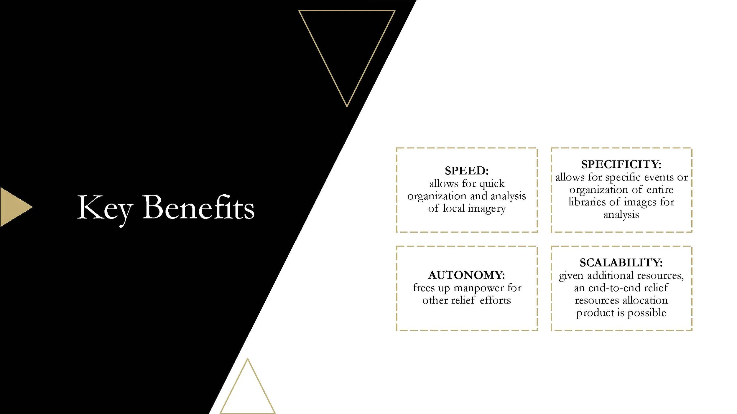
The team was able to achieve the MVP, and attempted to learn and run a convolutional neural network. Given more time and resources, the team would want to answer the question:
Can a convolutional neural network be built that takes non-standard images from the CAP and classifies them based on the presence of tents?